10 Introduction to Topographic Maps
Elizabeth Johnson
Maps tell the story of a place: what it looks like now, and what happened in the past. For this physical geology course, we will focus our efforts on learning how maps reveal the often complex geologic and plate tectonic history of a region.
In the second half of this course, we will learn how to read and interpret maps, including topographic maps (showing the shape and elevation of the land surface) and geologic maps (showing the rocks at the surface and how they might extend beneath us).
This module focuses on topographic maps. Paper topographic maps are still used for some field work (see Figure 1 for an example of a topographic map that was first printed in 1906).

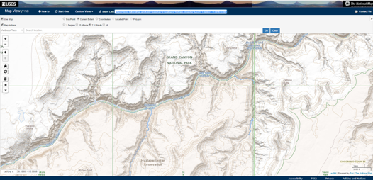
In this digital age topographic data are also now available on a variety of online platforms, including Google Maps, the United States Geological Survey (USGS), and ArcGIS.
Click here to view an interactive topographic map of the Grand Canyon: USGS Topographic Map